The Federal Railroad Administration released their Record of Decision on July 12, 2017 and dropped the “Old Saybrook to Kenyon Bypass” from the plan. Great news and a big win for Charlestown, however a study is required that leaves the door open to the Bypass. We will be working to shut that door!
-
We Are In This To Win – Now And Long Term!
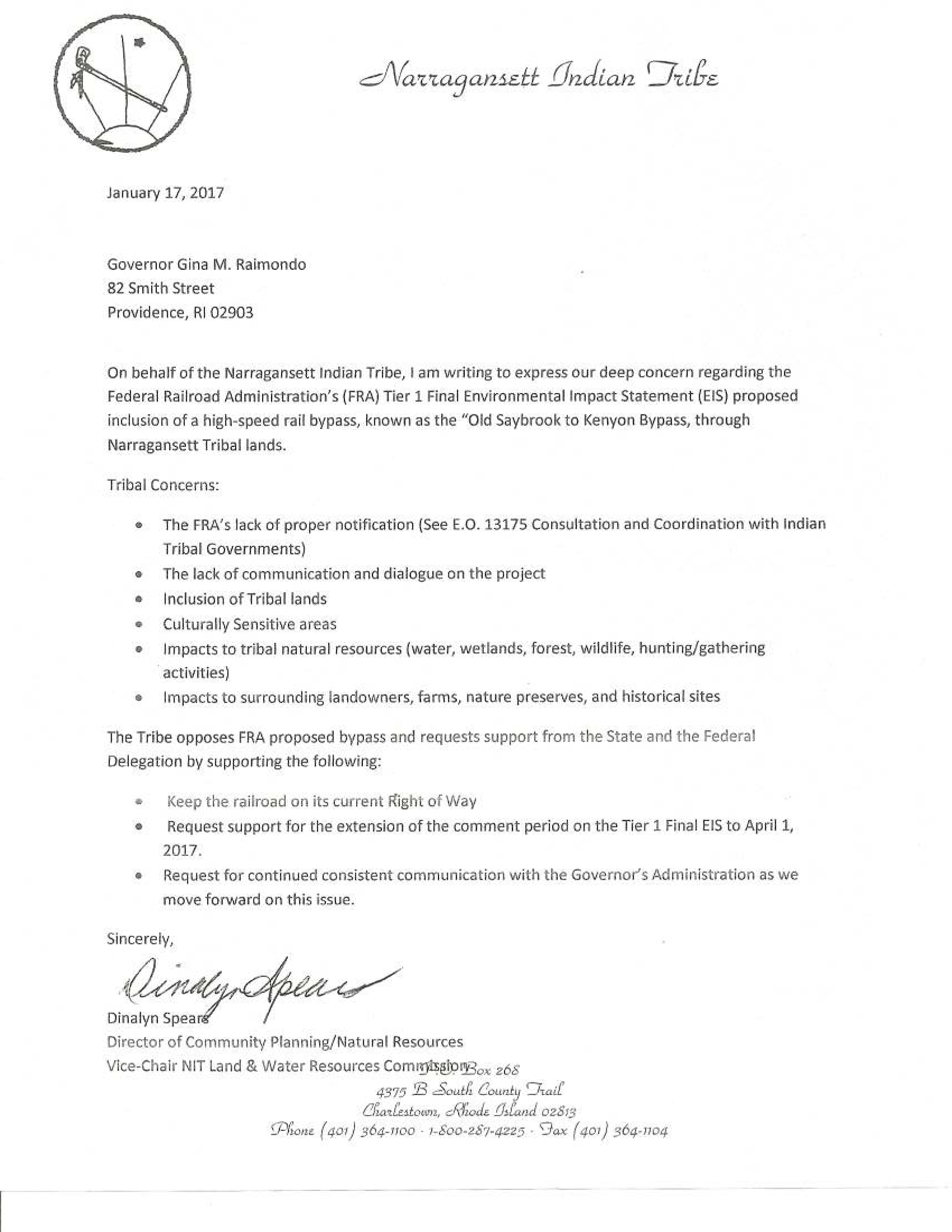
On December 16, 2016 the Federal Railroad Administration (FRA) released their Tier 1 Final Environmental Impact Statement (EIS) to straighten the tracks of the Northeast Corridor over the next several decades. Charlestown lies in the “Old Saybrook to Kenyon Bypass” section of the plan. At that stage it was a plan, not an action, but the line they drew through Charlestown, Westerly, and Old Saybrook area of Connecticut would have been harder to move as time went by, so community action and involvement was critical in removing it from the Record of Decision (ROD). The July 12, 2017 ROD calls for a study that could possibly bring back the Bypass. We will remain vigilant throughout this study process to work to stop the Bypass from being resurrected.
We will use this page to share information on this project as it continues to develop and announce any public meetings or actions.
Map Gallery - Click on any image to enlarge
-

- EIS Map Showing Path Through Westerly and Charlestown

-

- Path of Proposed Rail Line Through Charlestown

-

- Burdickville Road Area Impacts

-

- Shannock Area Impacts

-

- Westerly Land Trust Land Threatened by New Rail Line

-

- Critical Resources - Natural Heritage Areas and Wetlands

-

- Public Open Space, Permanent Conservation Easements, and Tribal Conservation Land in Green. Active Farms in Yellow.

-

- Bypass route through Kenyon. Proposed Bypass route in yellow

-

- Approximate location of proposed new high speed tracks through Carter Preserve in red. Existing tracks to remain for freight and other trains in black. Map by TNC, but rail tracks added by C. Vanover.

-

- Railroad Impacts from Shannock Road to the Carter Preserve

-

- Tribal Land in dark green showing location in context to rails and other conservation land. Boxed area corresponds to detail map area.

-

- Narragansett Tribal Land in green, proposed rail line path in red dashed lines.

-

- Charlestown and Richmond Noise and Vibration Impact Zone

-

- Bypass Path Through Westerly, Rhode Island


