Charlestown Awarded Grant To Protect Saw Mill Pond Watershed
The Rhode Island Department of Environmental Management announced on Tuesday, March 15, that Charlestown’s Open Space Grant application had scored very high and has been selected for funding.
Land proposed for protection under the Natural Heritage grant program is scored for its protection of critical and uncommon habitat, its capability of supporting a diversity of habitats, its support for rare or endangered species, its close proximity to other protected land, its close proximity to a river or other water body, groundwater protection, and public access for passive recreation.
According to the press release, Charlestown will be awarded the $400,000 grant towards the purchase of the Saw Mill Pond watershed which contains “90 acres of forestland in northern Charlestown. The property contains an important wetland complex that surrounds Saw Mill Pond. The land is part of a greater than 250-acre area of unfragmented forest and is nearly contiguous with The Nature Conservancy’s Carter Preserve, which includes 1,000+ acres of conservation land.”
Other costs associated with the purchase would likely be funded by the town’s open space bond fund that was approved by Charlestown voters in 2015.
The award of the DEM grant is just the first step in preservation of the property.
Habitat Protection
The entire 102-acre forested property drains to Saw Mill Pond by dropping 100 feet in elevation over the property’s 3,300 feet in length from Rt. 112. The property’s forests capture and cleanse rainfall for the important wetland and floodplain complex that surrounds Saw Mill Pond. Its approximately 30 acres of wetlands, together with Saw Mill Pond, and surrounding wetlands and uplands are a state mapped Ecological Land Unit (ELU) that is identified in the RI Wildlife Action Plan. An ELU is a landscape with a diversity of geophysical characteristics that supports diverse plant and animal communities.
The property forms almost the entire eastern border of Saw Mill Pond, a 10-acre pond surrounded by marshland that drains to Indian Cedar Stream, which flows through the Indian Cedar Swamp and is tributary to the Pawcatuck River.
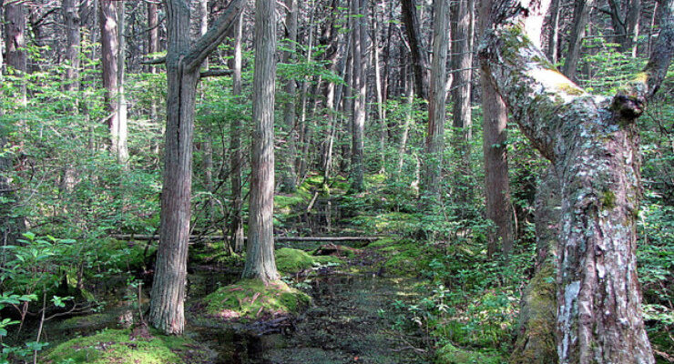
The land is part of an even larger unfragmented forest and is a mix of Oak and other hard woods, White Pine and Pitch Pine and an approximately 1.3 acre Atlantic White Cedar swamp.
Wildlife
This property is contiguous with tribal land and nearly contiguous with the Indian Cedar Swamp and the Carter Preserve and supports many of the rare species on these lands by sharing habitat and acting as a buffer between the developed areas on Rt. 112 and these other preserved lands.
Climate Corridor
The property is part of a state identified climate corridor. These are areas that form the best route between current climate types and where those climates will occur in the future under climate change. Climate corridors allow wildlife to move and adapt to climate change.
Drinking Water Protection
The property’s forests capture rainfall and cleanse rain to improve ground water quality within the recharge area of the Indian Cedar Swamp Groundwater Reservoir. The property is also within two wellhead protection areas.
Prime Agricultural Soils
All of the property’s eastern land area that is near Rt. 112 is Paxton soil (PaA), a prime agricultural soil. About 2 acres of this is still cleared as a field and presently is growing grass and golden rod. This would be maintained as a field to provide food for birds and pollinators.
Public Access
Because the property would be funded partially with a state grant, public access is guaranteed.

March 18, 2022 @ 6:46 am
No surprise that I agree with Mr Chambers …. and many thanks to our town planner and her co-worker who both work very hard and effectively on this and many other issues and projects.
March 15, 2022 @ 4:45 pm
This is great news. Who wrote the grant proposal? These are the kinds of things that make Charlestown an enjoyable place to hike and learn about the natural environment. And it doesn’t hurt that this brought money into the town.
March 15, 2022 @ 7:18 pm
The grant proposal was submitted by the Town Planner, Jane Weidman.