 Great Flood Photos
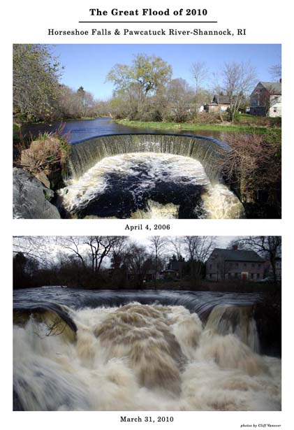
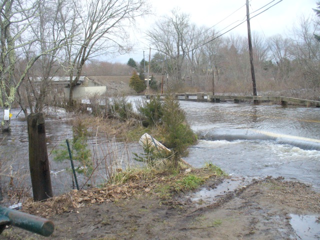
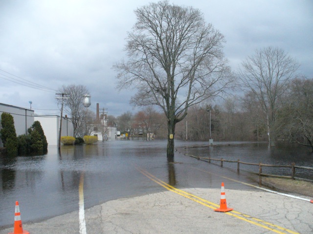
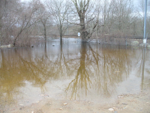
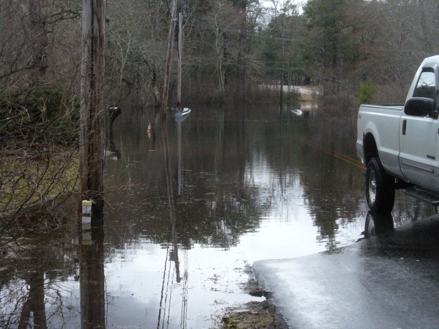
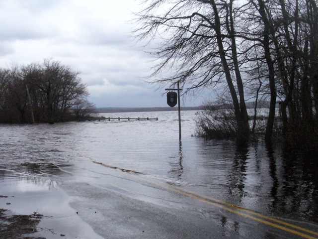
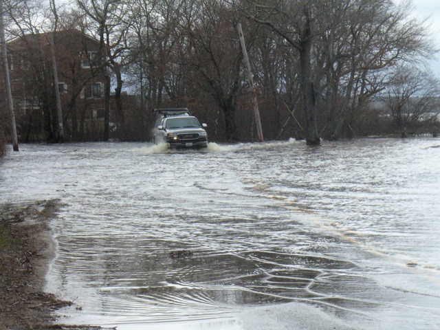
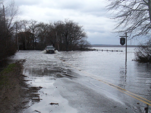
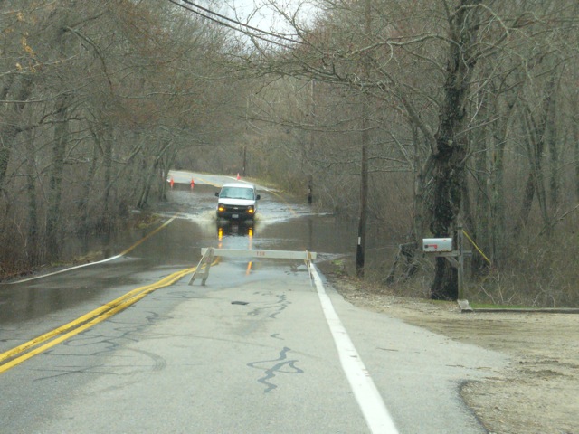
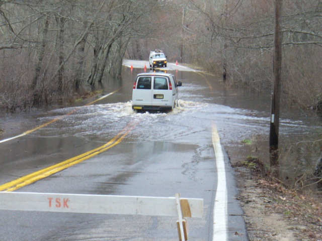
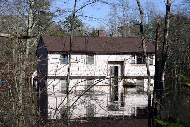
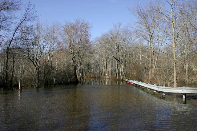
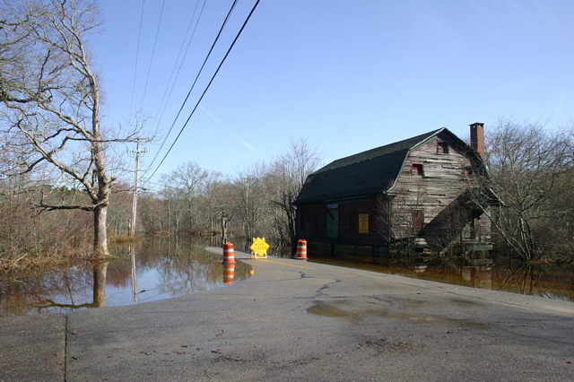
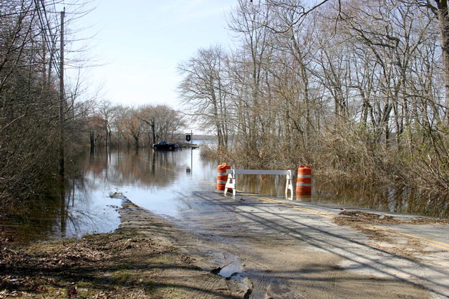
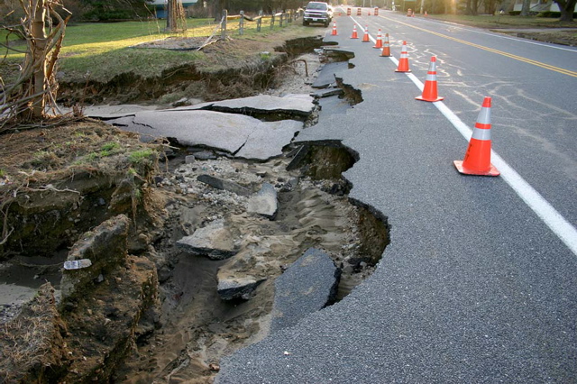
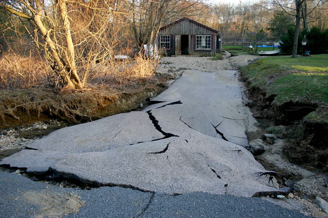
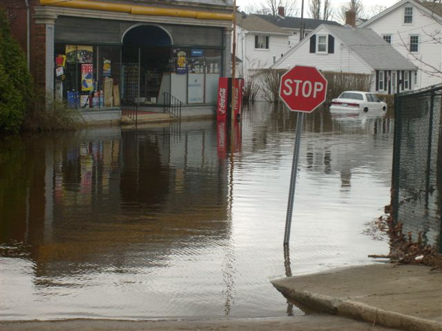
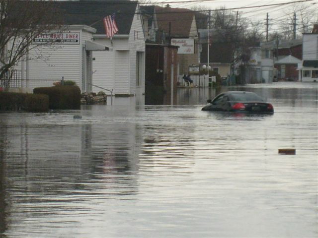
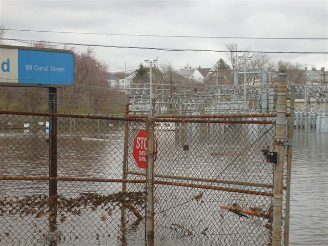
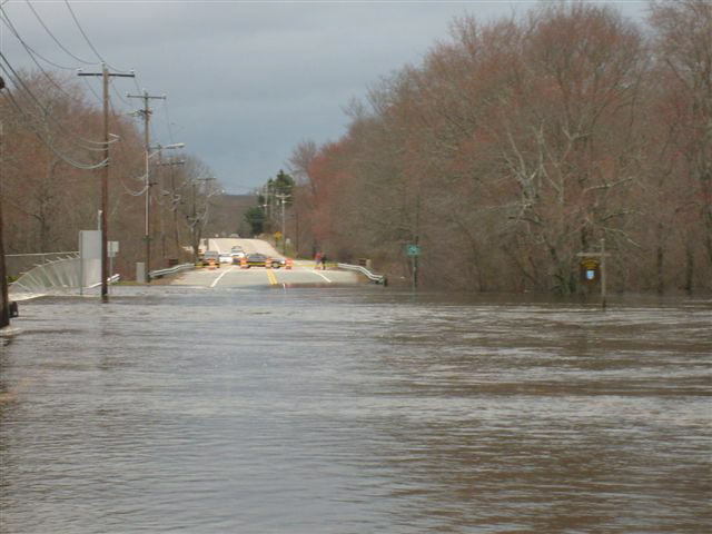
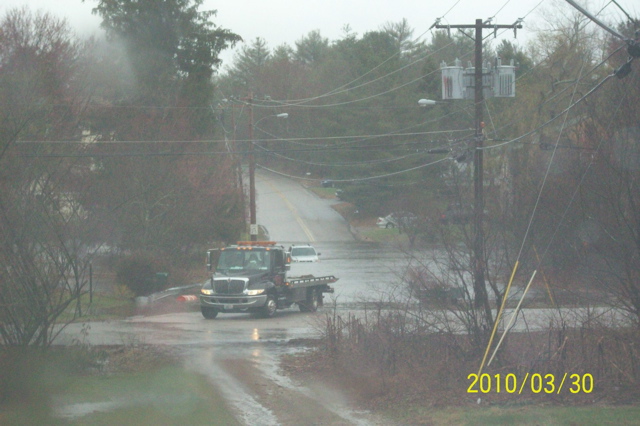
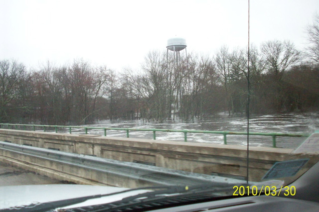
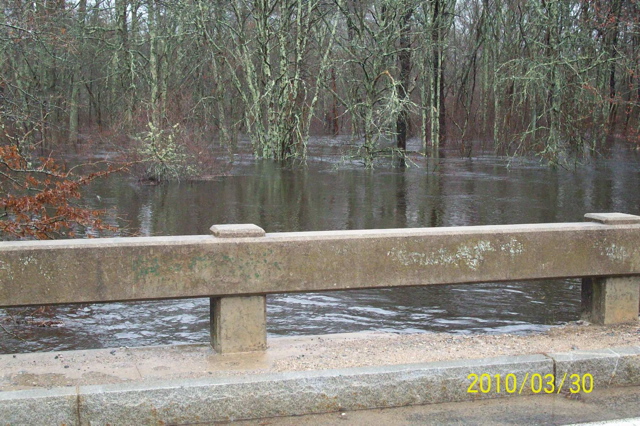
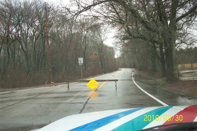
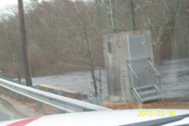
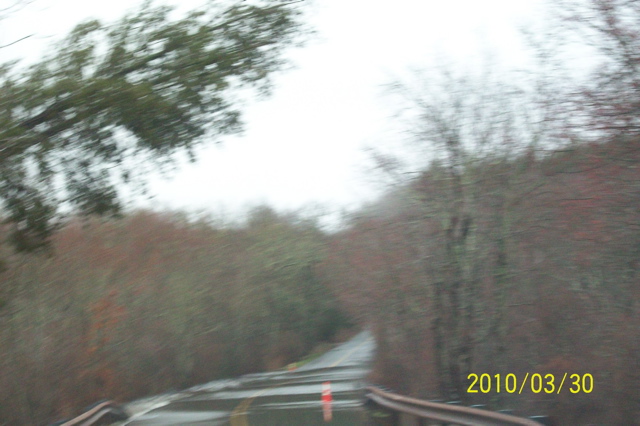
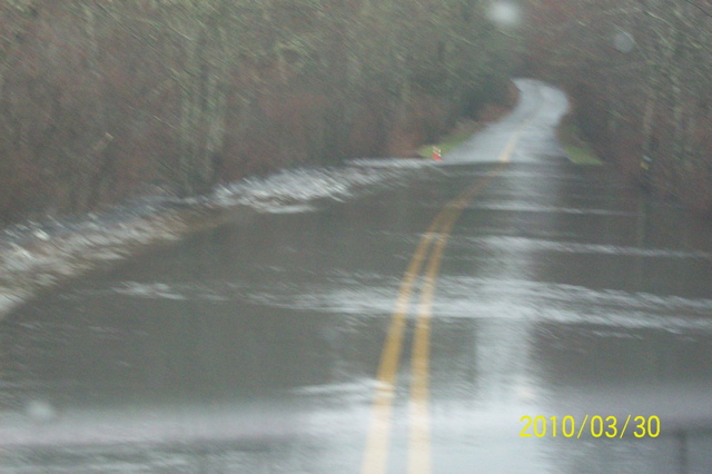
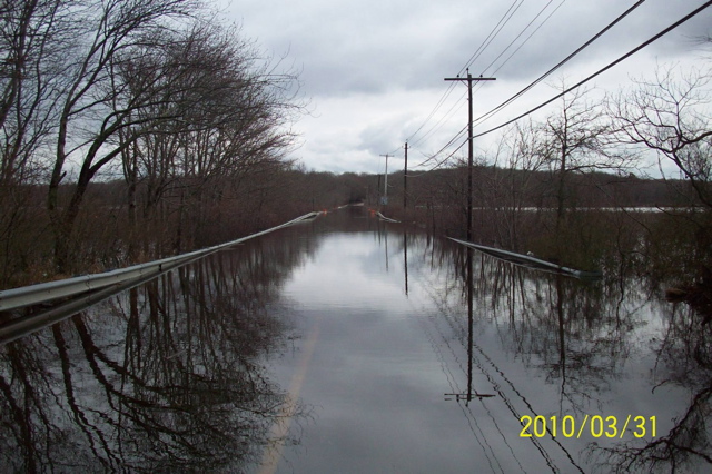
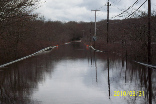
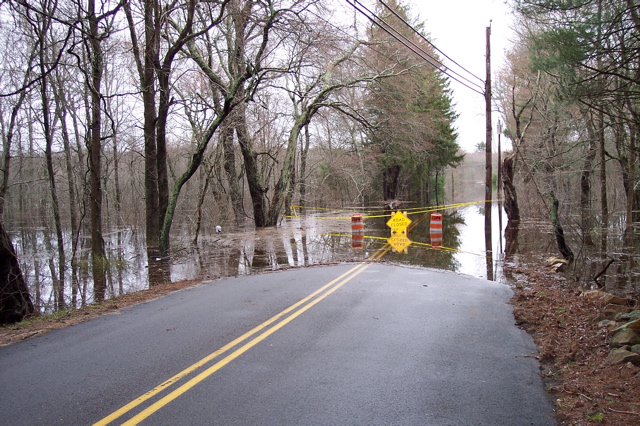
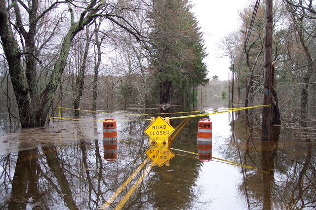
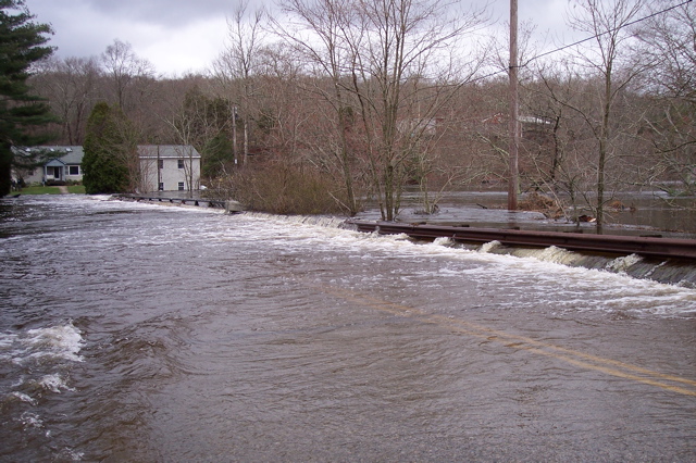
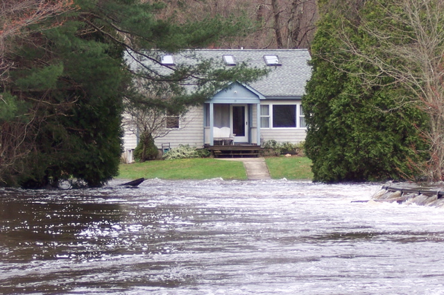
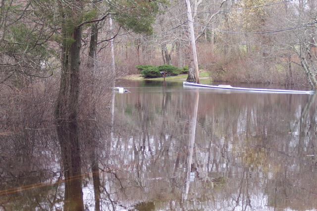
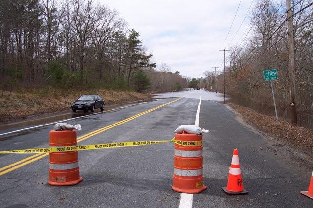
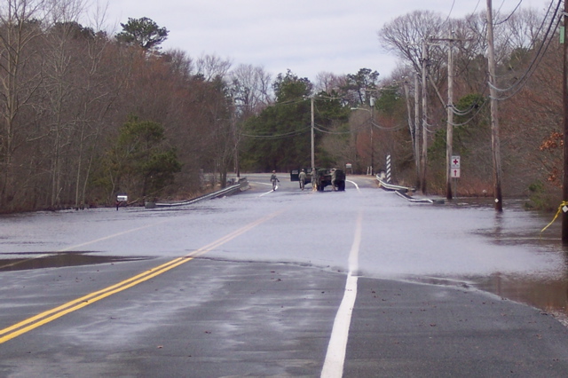
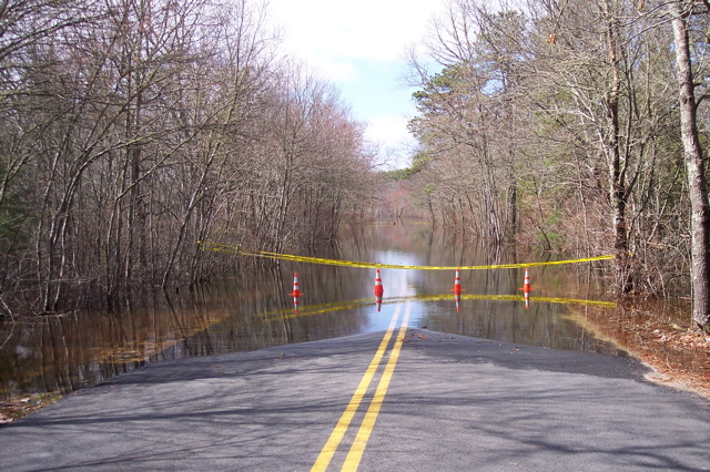
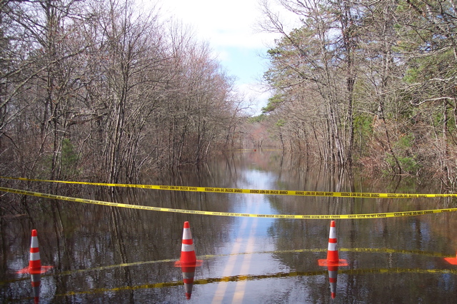
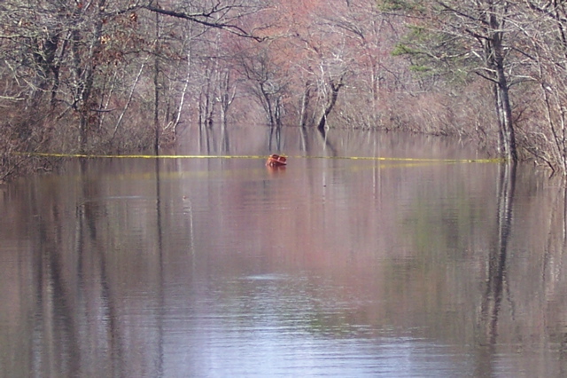
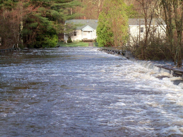
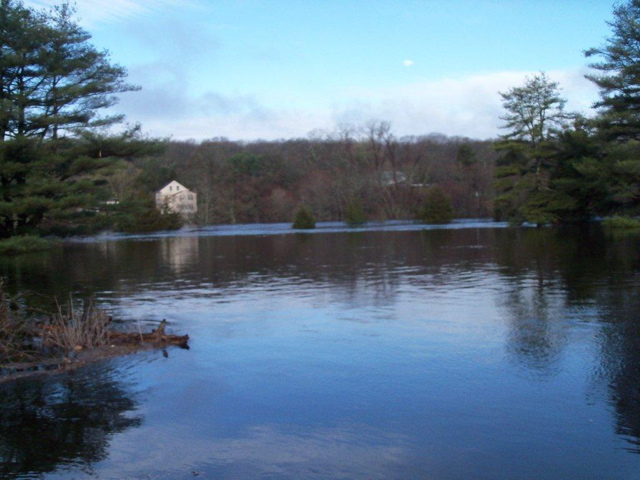
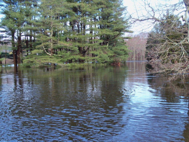
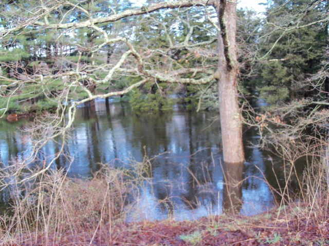
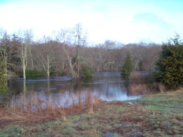
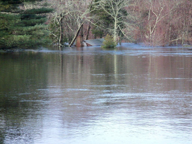
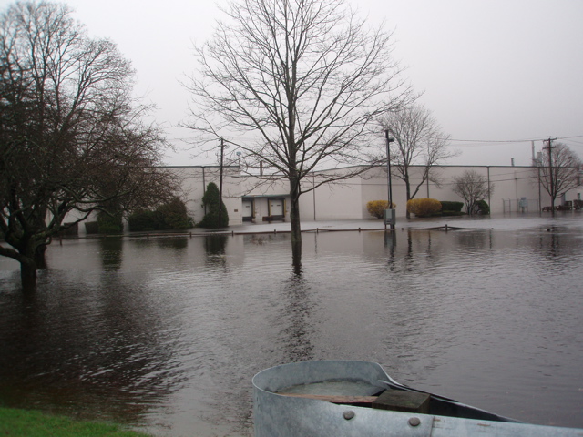
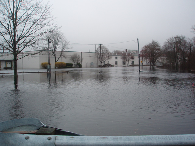
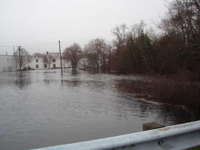
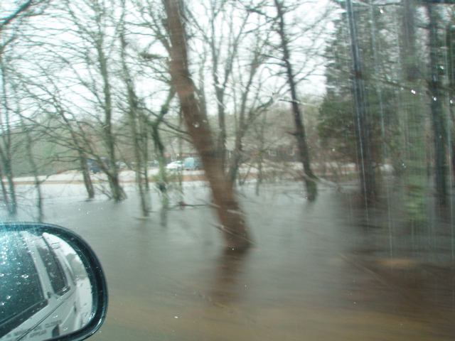
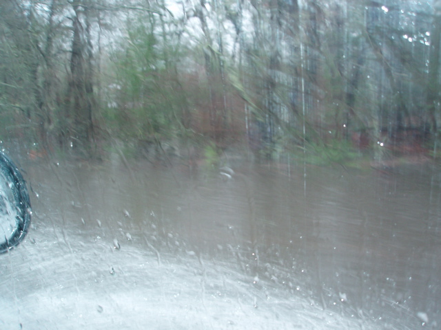
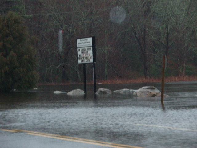
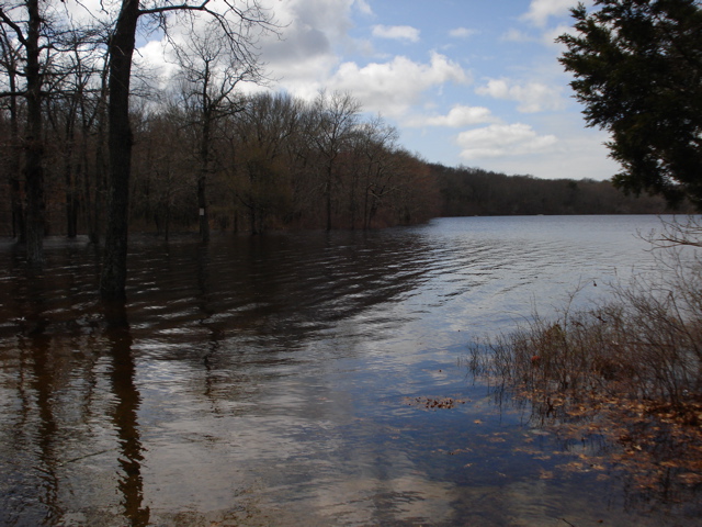
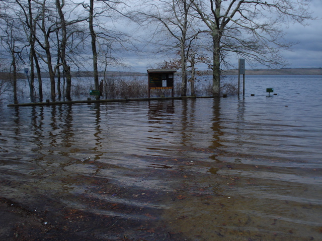
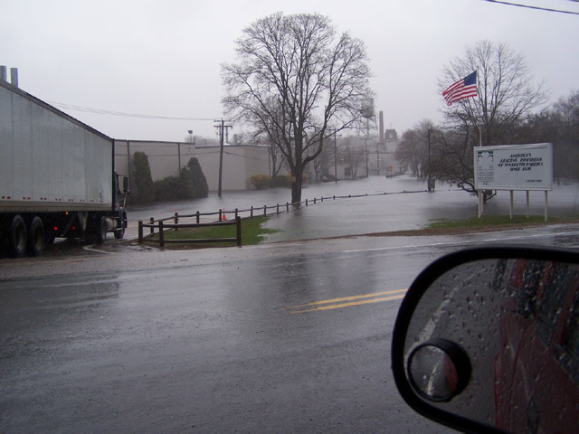
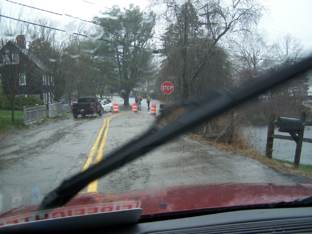
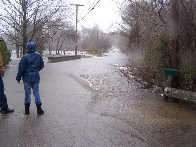
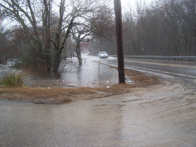
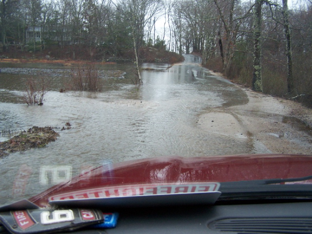
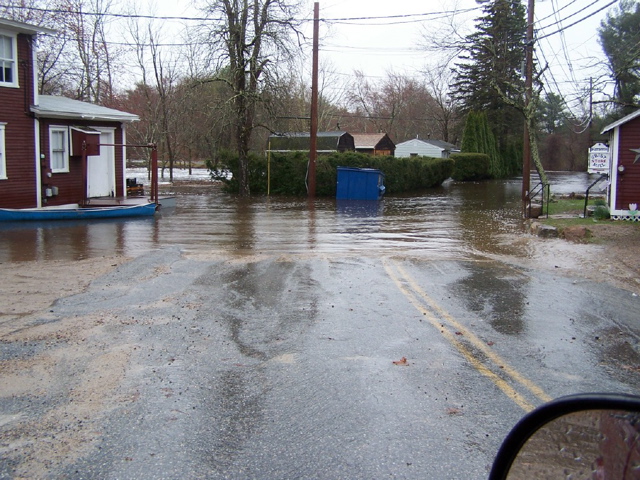
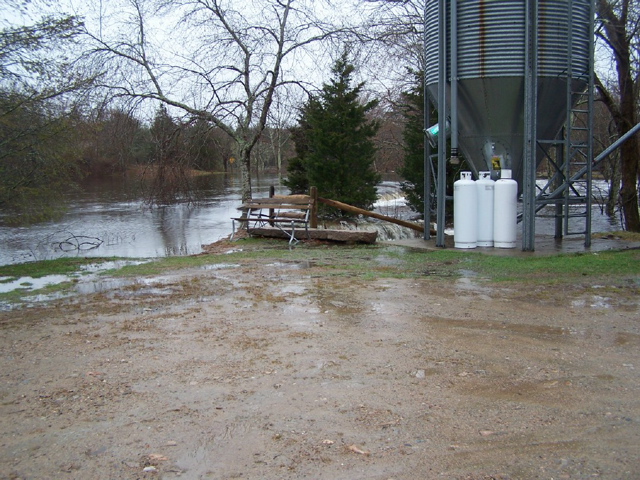
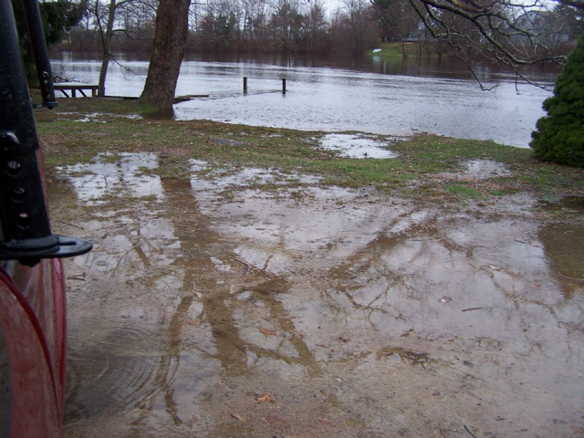
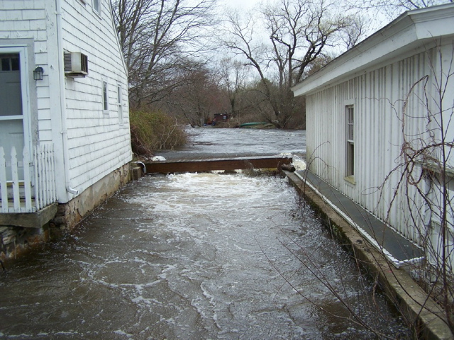
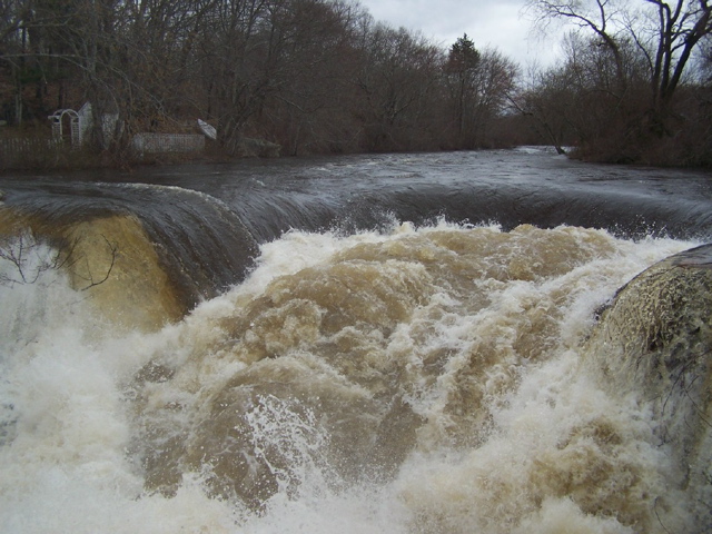
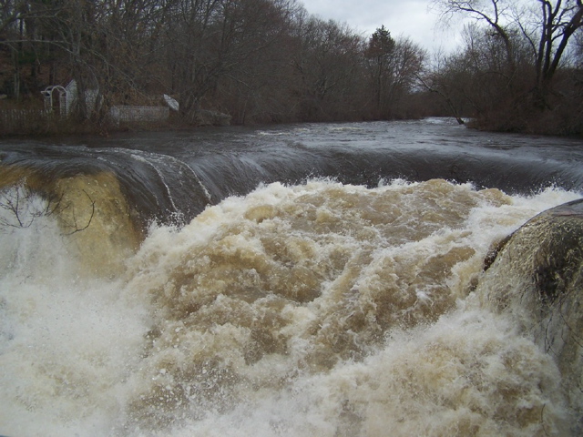
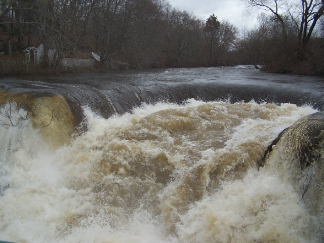
Three days of record-breaking rain at the end of March 2010 poured onto soils already saturated from previous rain storms. Fifteen inches of rain fell on our area that March.
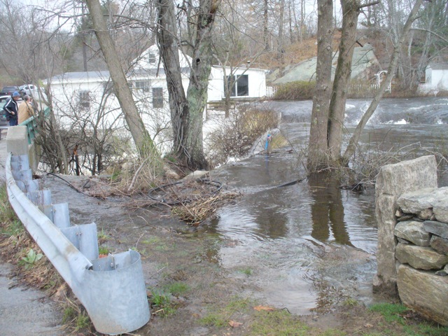
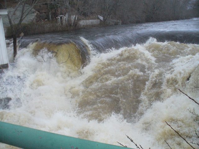
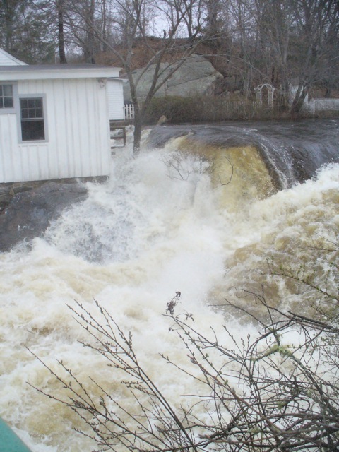
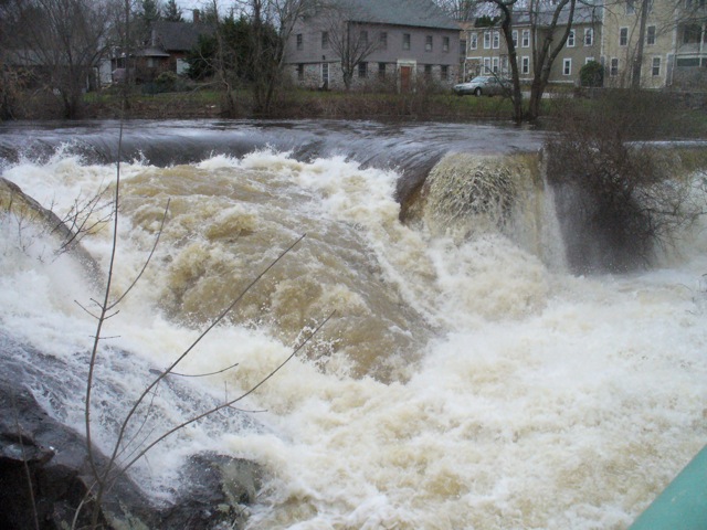
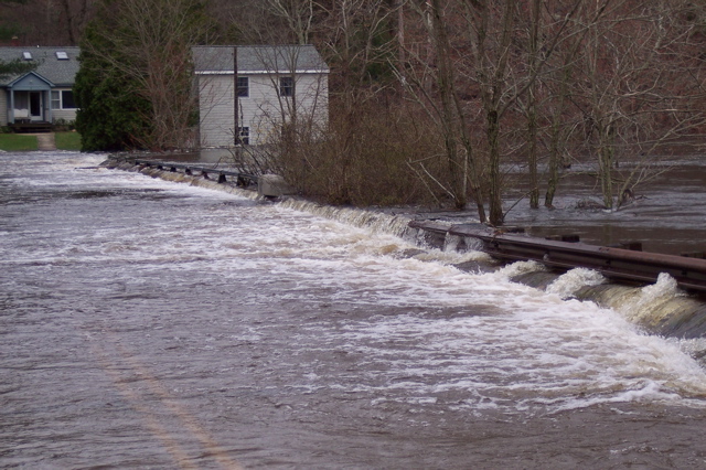
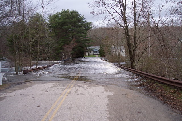
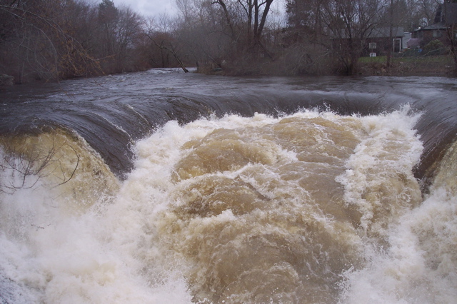
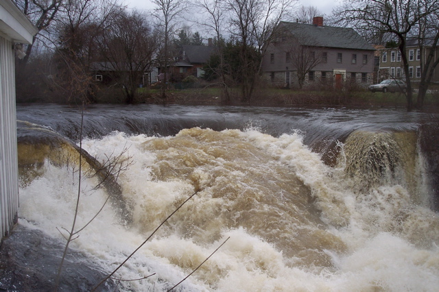
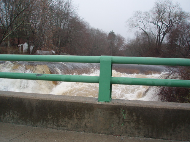
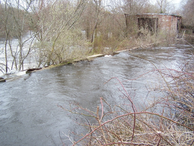
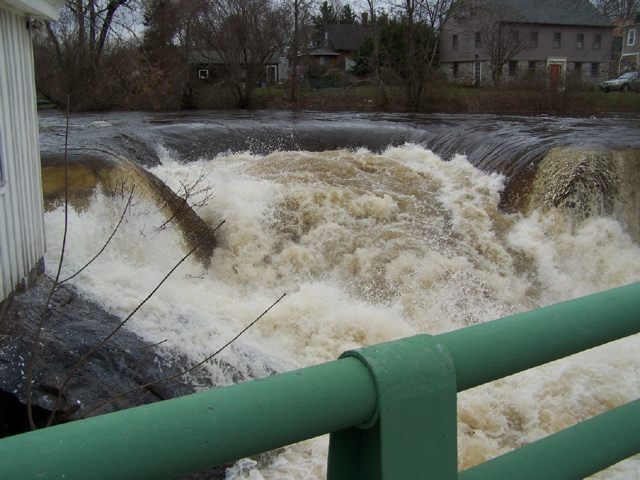
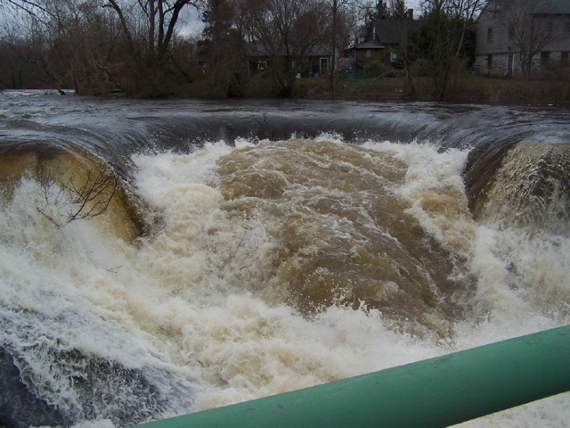
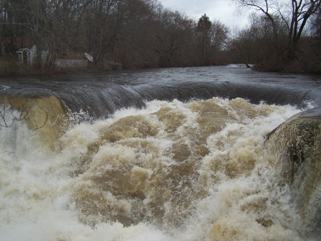
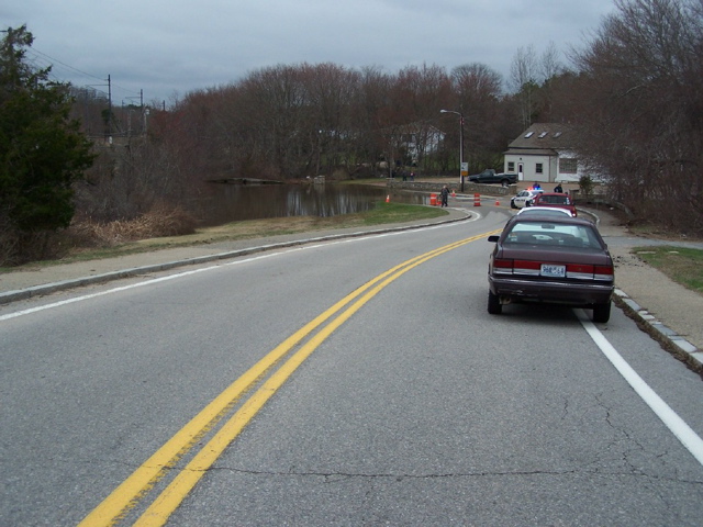
Wetlands absorbed the rain at first and then spilled over flood plains. The Pawcatuck River rose and Shannock Falls impressed all those who ventured out to see and hear the pounding water.
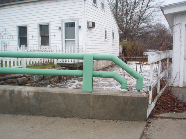
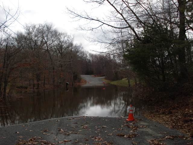
Some pumped out flooded basements, others had more devastating losses. We all learned lessons in wetland protection and storm water management.
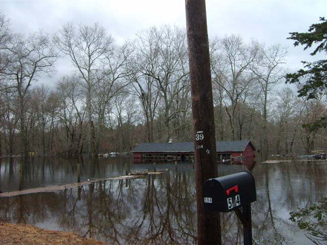
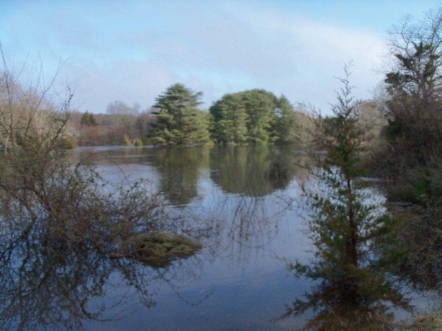
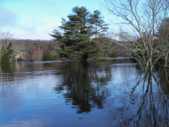
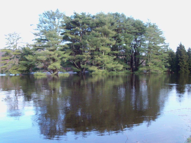
After the rains ended we received photographs from 12 different photographers and posted those at our website.
Those photos are arranged in photo albums below. Click on any small image below to open a lightbox for each album.
If you still have pictures of the flood, share them with us and we’ll create a new album and add it to this archive.
Click on any small image below to open a lightbox for each album
Photos by Frances Topping
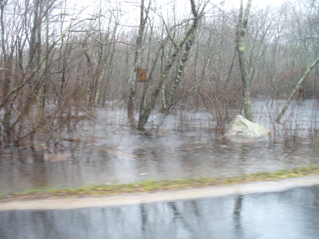
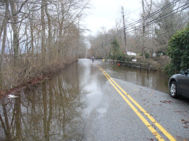
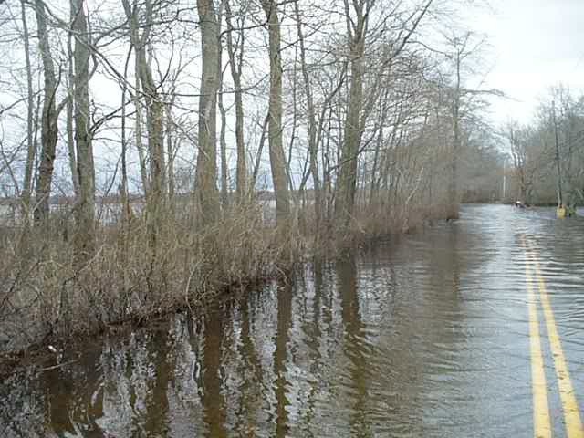

Photos by Cliff Vanover
Photos by Dale and Kyle Santiago
Photos by David Iacovelli
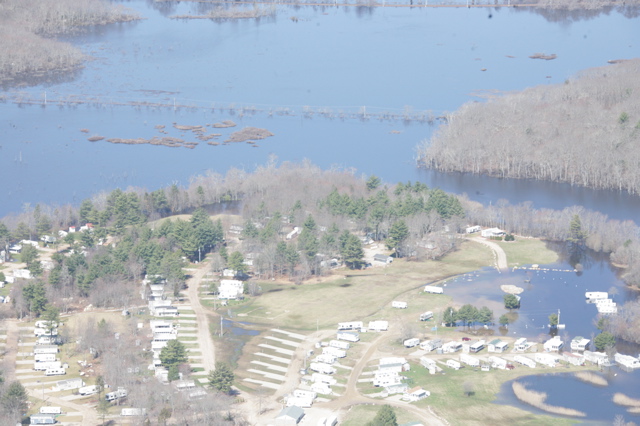
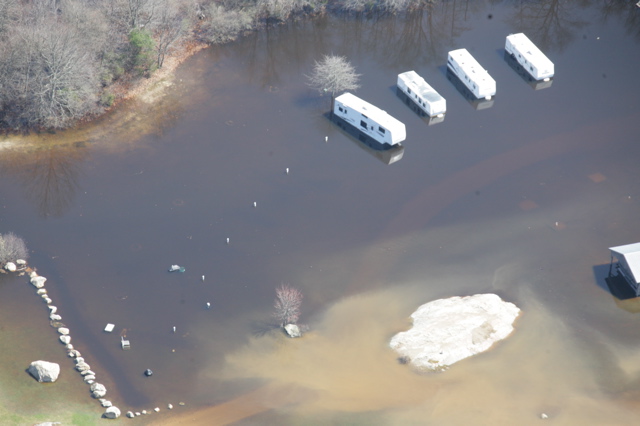
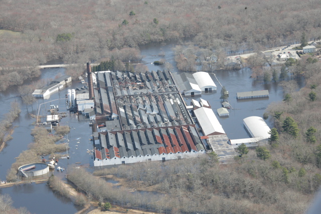
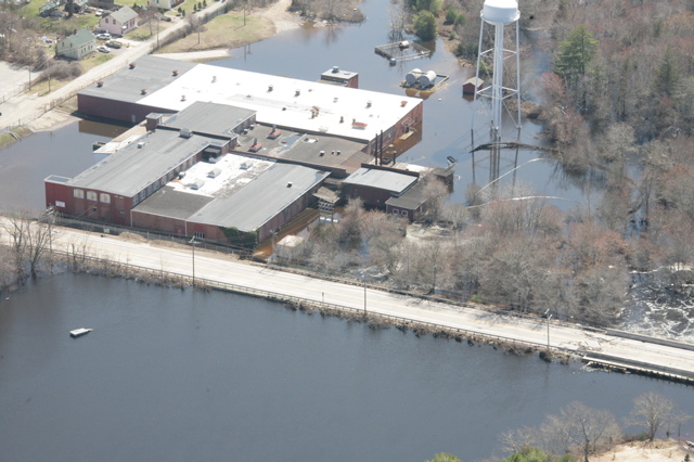
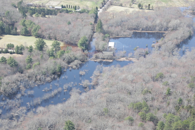
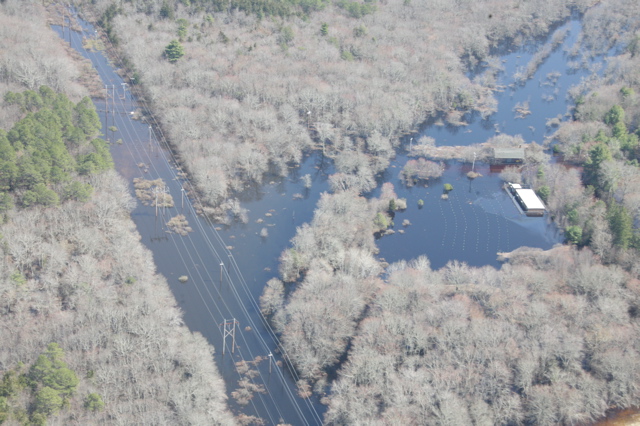
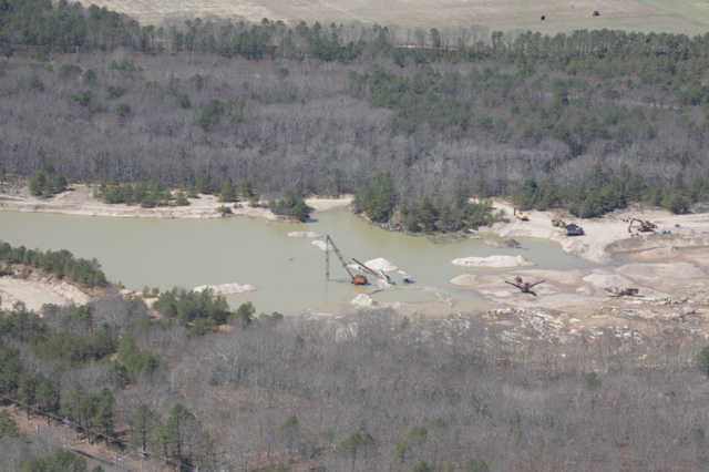
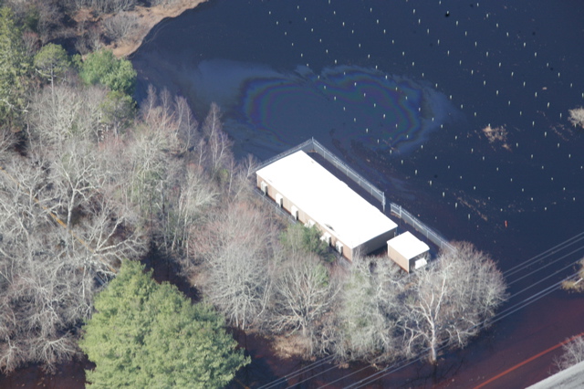
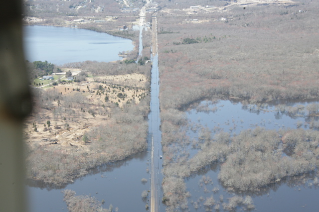
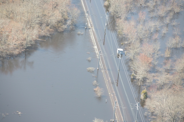
Aerial photos by Gabriel Warren
A couple of days after the flood, I flew a Cessna over the Chariho area after enlisting Steve Law to shoot with my camera. (You can fly or shoot, but not both simultaneously…) Here are a few selections.


Photos by Jim Abbott

Photos by Margaret Frazier
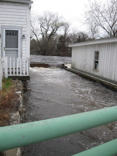
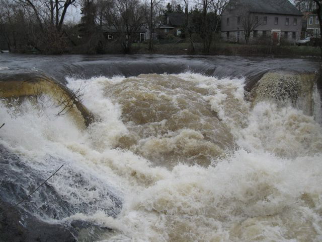
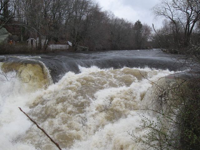
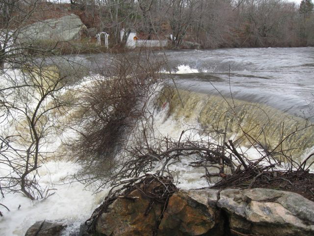
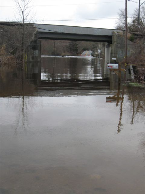
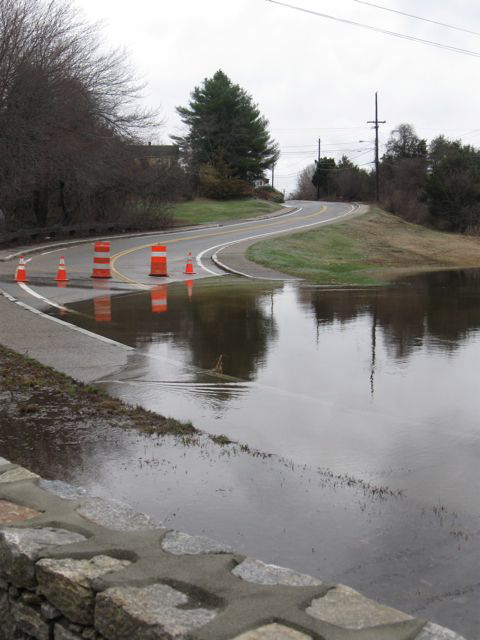
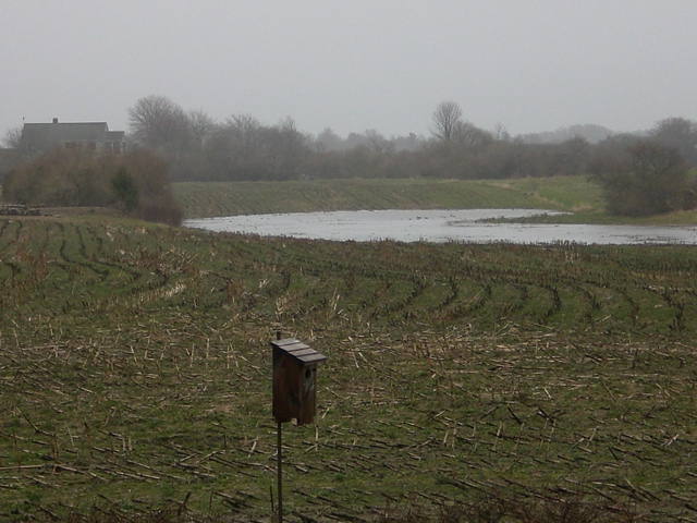
Photo by Peter Arnold
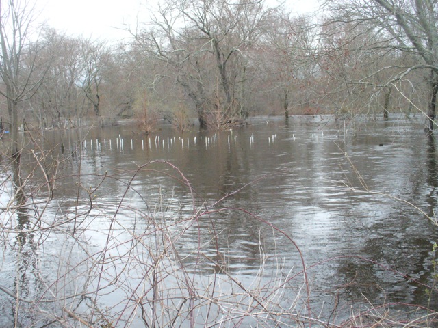
The cornfield in Arnolda East. The “Lake” is approximately three acres, but it did not exist prior to the rainfall.
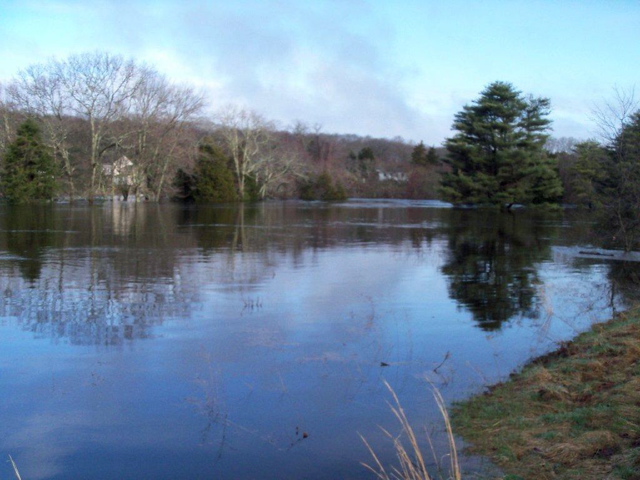
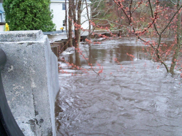
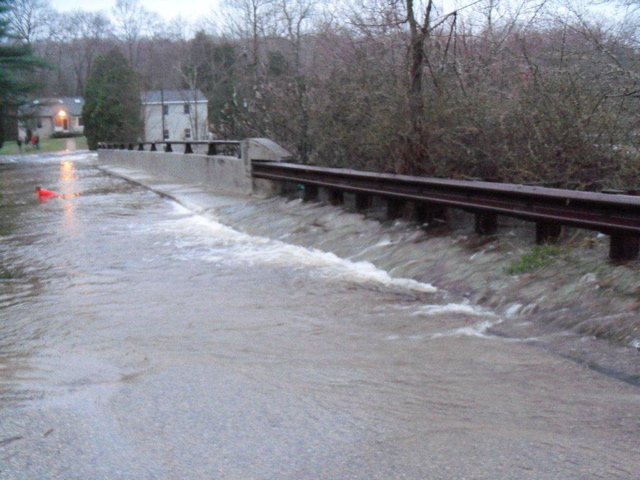
Photos by Jane Durning
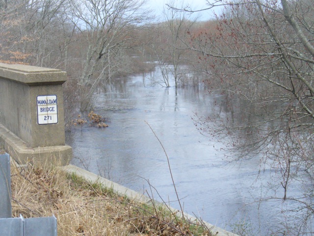
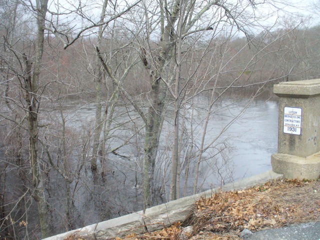
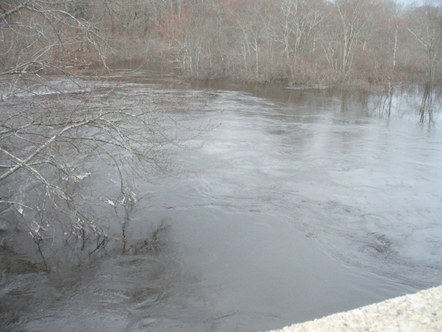
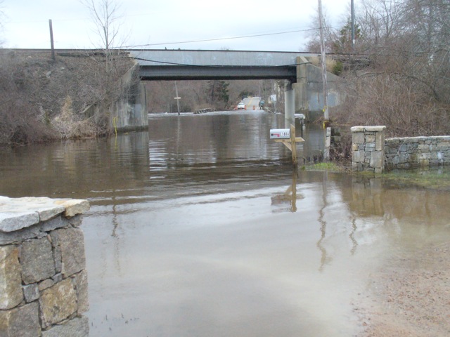
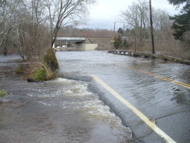
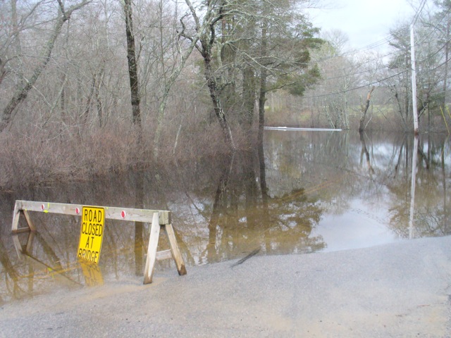
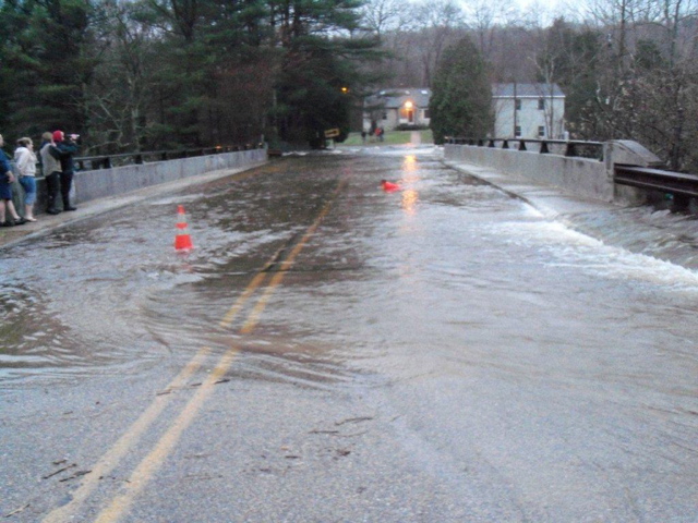
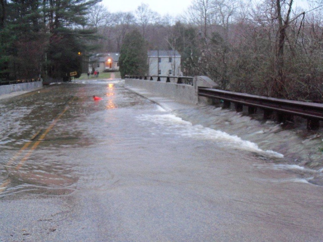
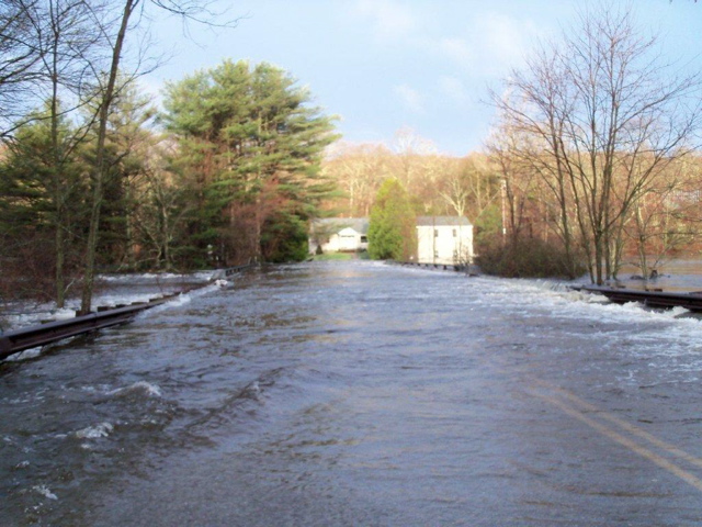
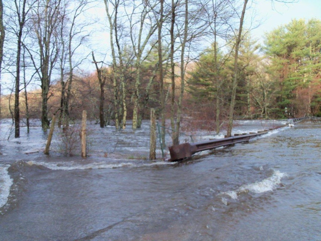
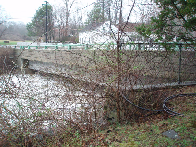
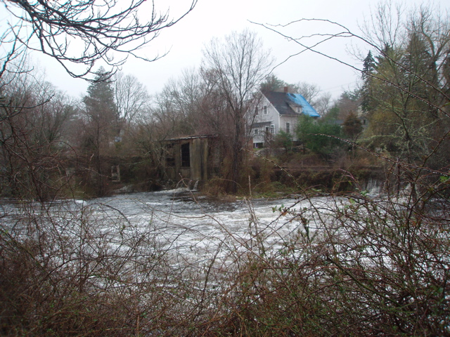
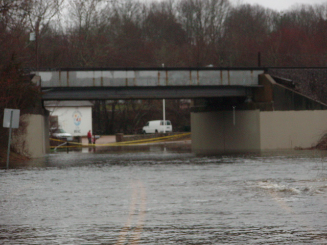
These pictures were taken at Riverside farm, Burdickville Road Charlestown, on the Pawcatuck River. The bridge pictures are of the Burdickville Road bridge in Charlestown.
Photos by Robert Bray

Photos by Rosemary Bowler Gribbin

Photos by The Fursts
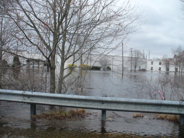
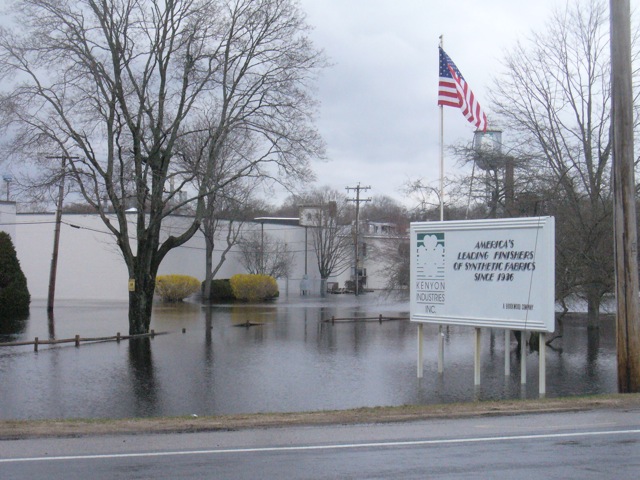
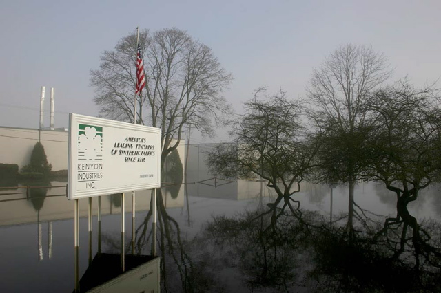
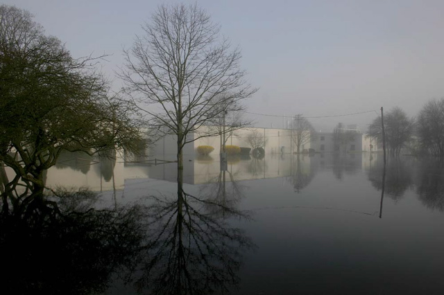
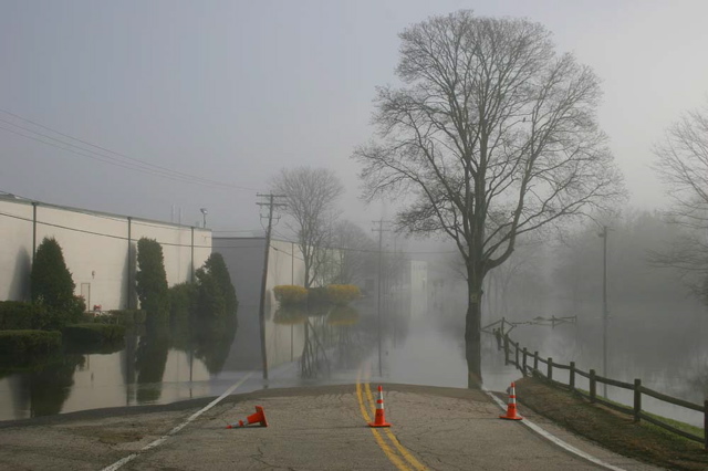
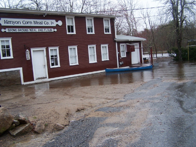
Photos below of Kenyon Industries, Usquepaugh, 138 by Usquepaugh, Horseshoe Falls in Shannock, the old firestation in Shannock

October 11, 2019 @ 9:22 am
Still impressive and a memory-jogger after 9 1/2 years. Have there been dam removals and other changes made since then? Will they help the next time?
January 4, 2018 @ 10:07 am
Great job, and it is very good and interesting to have this record…….thx Leo
February 24, 2014 @ 10:21 am
Makes all the snows this winter seem insignificant. Glad we have a record.
February 24, 2014 @ 9:15 am
Thank you for posting these photographs. My wife and I were out of state at that time and followed the story of the flooding on the weather channel. Most of what we saw was the flooding on the north and south branches of the Pawtuxet River in Coventry and Warwick respectively. When we returned, we drove south on Route 2 and saw just the remnants of the flood. These photos fill a large information gap regarding the severity of the flood waters.