Table of Recreation Activities
Recreation Activities at Each Open Space Property These are the allowed uses to the best of our knowledge. Allowed uses can change so always check with the property manager or […]
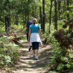
Recreation Activities at Each Open Space Property These are the allowed uses to the best of our knowledge. Allowed uses can change so always check with the property manager or […]
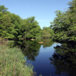
About Photo by Cliff Vanover Owned by the Town of Charlestown since 2016, this 27.8 acre property was purchased with a Rhode Island Department of Environmental Management open space grant […]
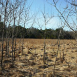
About Tucker’s farm field with forest beyond Owned by the Town of Charlestown since 2021, this 66.5-acre property was purchased with a Rhode Island Department of Environmental Management open space […]
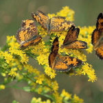
About Owned by the Nature Conservancy since 2001 and 2014, this 1,112 acre property was acquired with help from The Champlin Foundations, the Doris Duke Charitable Foundation, and the Cove Point […]
About Photo by Cliff Vanover Fifty five acres of the State Great Swamp Wildlife Management Area lies in Charlestown. The rest of the 3000+ acre property lies in South Kingstown. […]
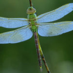
About Photo from The Nature Conservancy Owned by the Nature Conservancy since 2000 and 2018, this 255 acre property was acquired with help from The Champlin Foundations, the Doris Duke […]
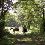
About Photo by Cliff Vanover Owned by the Town of Charlestown since 2002, this 87 acre property was purchased with a Rhode Island Department of Environmental Management open space grant […]
About Photo by Cliff Vanover Owned by the Town of Charlestown since 2002, this beauthiful 97 acre property was purchased with funding from the Rhode Island chapter of the Nature […]
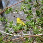
About Yellow Warbler – Frances Topping The 365 acre parcel of Ninigret National Wildlife Refuge off of Lewis Trail and Rt. 2/112 is referred to as the Lewis Trail unit. […]
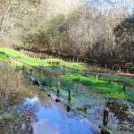
About Mill Pond is an 80 acre property owned and managed by the Charlestown Land Trust. Mill Pond is part of our town’s history with the remnants of a once […]
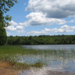
About Owned by the Town of Charlestown since 1991, this 93 acre property across from Burlingame Wildlife Management Area was purchased with funding from the Nature Conservancy and Town Open […]
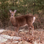
About Burlingame State Park and Wildlife Management Area consists of over 3000 acres of land. The State Park contains a campground and a smaller area for picnics, a boat launch, […]
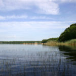
About Photo by Cliff Vanover The Audubon Society sold the 29 acre Kimball Wildlife Refuge to DEM in 2015. It abuts Burlingame State Park and is now part of the […]
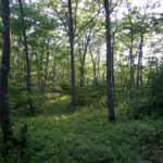
About Owned by the Town of Charlestown since 2013, this 78 acre property was purchased with Town Open Space Bond funds and represents nearly a mile of road frontage on […]
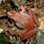
About The 115 acre parcel of Ninigret National Wildlife Refuge where the Kettle Pond Visitor Center is located is referred to as the headquarters unit. Purchased in 2001, this parcel […]
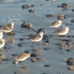
About Established in 1979, it consists of 409 acres of diverse upland and wetland habitats including grasslands, shrub lands, wooded swamps and freshwater ponds. Formerly part of Charlestown Naval Auxiliary […]
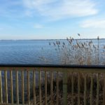
About Owned by the Town of Charlestown since 1990 and opened as Pawaget Park in 2014, the land was formerly the Golf Driving Range. This 7.5 acre park is handicap […]
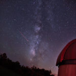
About Owned by the Town of Charlestown since 1979, the land was formerly part of the Charlestown Naval Auxiliary Landing Field and was then proposed as the site of a […]
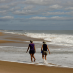
About East State Beach, takes up three miles of undeveloped beach frontage. East Beach is one of the least developed of the Rhode Island state beaches and one of the […]
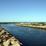
About Owned by the State of Rhode Island, this 79 acre property includes a beach that is contiguous with Charlestown Beach, a camping area, and access to fishing. The Breachway […]
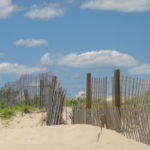
About Photo by Dan Slattery Owned by the Town of Charlestown, this collection of different properties includes beach parcels that are contiguous with the State Breachway and another beach area […]
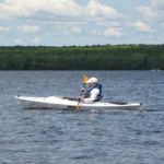
Map by Cliff Vanover – Canoe or Kayak Access – Boat Ramp Look for these symbols in the map above to find a place to put in your canoe […]
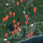
Click on a map marker to expand a text box with information about this location. Map markers are located at parking lots or drives that lead to parking. Parking lots […]
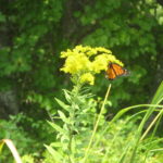
Please share your photos of Charlestown’s natural areas with us. Send your photos to charlestowncitizens@gmail.com and we’ll add them to these galleries and give you attribution. Click on any photo […]
We’ll have profiles and directions to Charlestown’s natural places as new trail heads are created or new parkland acquired. If we have other data that we think is useful to […]