Updated – Permanently Protected Open Space and Farms Impacted By Railroad Plan
This is an updated map and post from our December 27 post on this subject. We’ve added farms and more permanently protected open space parcels to this map.
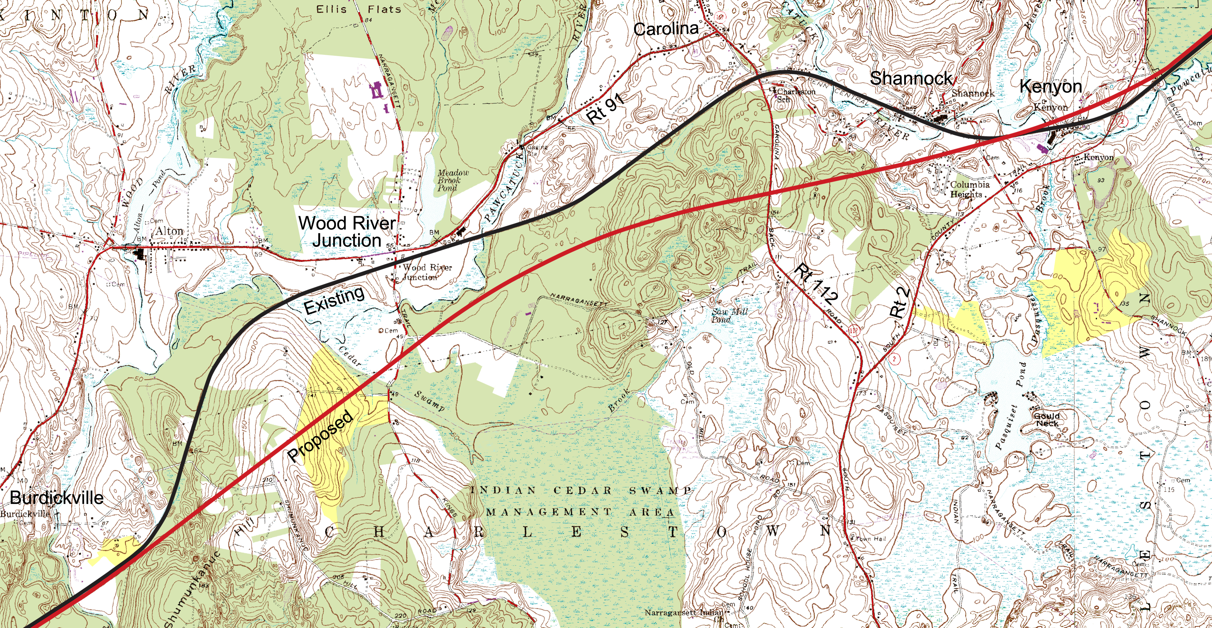
The map above shows the approximate path of the proposed new high-speed rail lines through Charlestown Rhode Island in red. The existing rails, which the NEC Future EIS says will remain for freight and slower trains, are in black. The areas shaded in green are permanently protected lands of The Nature Conservancy, the Charlestown Land Trust, State Wildlife Management Areas (RIDEM), Narragansett Tribal Conservation Land, and private open space where the Town or other entity holds a permanent conservation easement. The open space data is based on Town of Charlestown GIS data and the URI Environmental Data Center. Click on the map for a more detailed view.
In yellow we show active farms. Most of these are enrolled in Farm Forest and Open Space (FFOS) see note at bottom for explanation.* Like the protected Open Space, farms are a priority of the Town and State for support and protection. Farms that have permanent conservation easements are shown in green with the other open space, so the amount of land in active farming is somewhat underrepresented on this map.
Compare our map above to the open space data that the Federal Railroad Administration (FRA) used in their Final EIS. Their map is below.
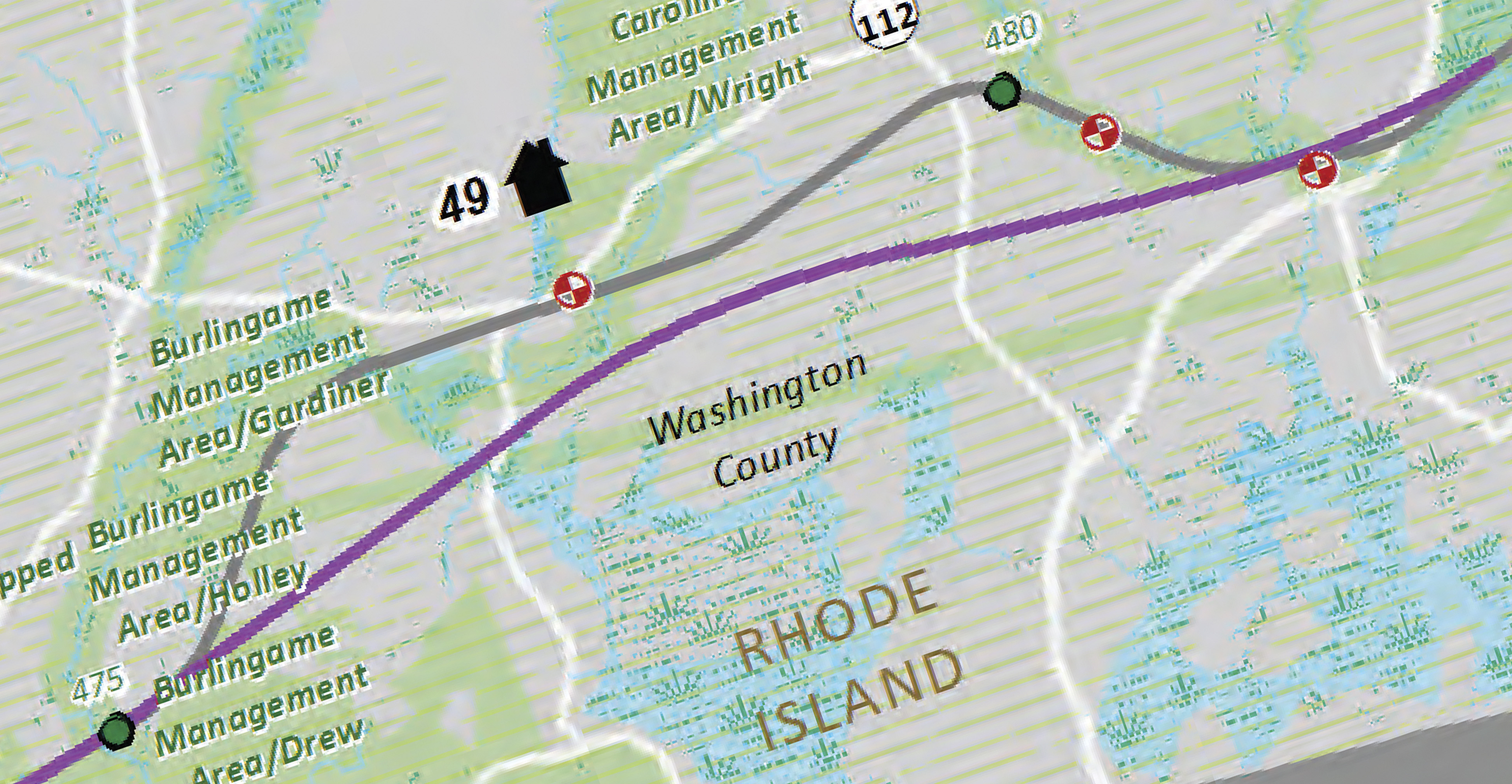
The Tier 1 Final EIS sums all the acres of impacted protected open space and contains maps such as the one above providing visualization of that impact. But the data is just wrong and significantly underestimates the impact.
* We do not show which farms are enrolled in Farm Forest and Open Space (FFOS) in our map at the top of this page. We believe most or all are enrolled. FFOS areas are farms that have given up the right to develop for an extended period (15 years or more) in exchange for a lower property tax assessment. Long term these properties may be set aside with permanent agricultural easements if the owners decide to do that. In order to enroll in FFOS the land owner must be actively engaged in farming or tree farming and agree not to develop their land. The program is set up to encourage farming and help make it sustainable. We mention FFOS here to note that there are other types of open space also impacted by the rail lines, but not depicted in our map at the top of the page.
Visit Our Railroad Page For More On This Issue