State and Federal Governments Ignore State Guide Plan and Local Control
The following letter was submitted to local newspapers and is shared with us here by the author Ruth Platner. Ruth Platner is Chair of the Charlestown Planning Commission.
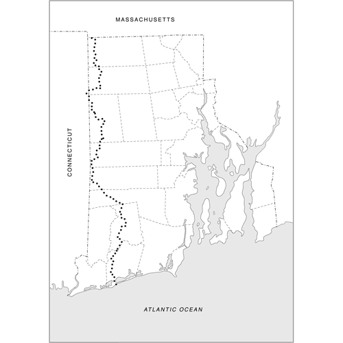
The North South Trail is a 77-mile long hiking trail that begins in Charlestown at Blue Shutters Beach and passes through Burlingame, Carolina, and Arcadia State Management Areas and then follows the western edge of the state through other preserved land in Exeter, West Greenwich, Coventry, Foster, Glocester, and Burrillville. The trail ends at the border of Massachusetts at Buck Hill Management Area in Burrillville where it joins the Midstate Trail through Massachusetts and eventually the Appalachian Trail. If the Invenergy Power Plant is built in Burrillville, you’ll be able to see the 1000 Megawatt gas and diesel power plant from the trail.
Charlestown is connected to Burrillville by the North South Trail, but more importantly the trail exists because of all the connections and similarities of these and the other towns along the trail. These are Rhode Island’s most rural areas, with large tracts of contiguous forest, rivers, wetlands, and important wildlife and outdoor recreation areas.
The State Guide Plan, Land Use 2025, identifies all or parts of each of these towns as being outside the “Urban Services Boundary”. The Plan directs the State and local communities to concentrate growth inside the “Urban Services Boundary” where there is sewer, water, and other services and to pursue significantly different land use and development approaches for rural areas. The plan emphasizes that Rhode Island’s long-term economic health depends on this distinction of urban and rural areas.
The rural towns have included this guidance in their Comprehensive Plans, pursued grants to expand conservation areas, and zoned for rural protection. But in recent years the legislature, state agencies, and Governor have taken actions that violate this urban/rural distinction of the State Guide Plan.
In the last two years the Legislature and Governor have passed laws that forbid rural towns from considering steep slopes, perimeter wetlands, and wetland setbacks when calculating density in subdivisions. In Charlestown and other coastal towns, the RI Department of Environmental Management approves septic systems that allow development in flood plains or too near to wetlands. The RI DOT proposed a new truck stop in the forest in Hopkinton on top of a drinking water reservoir, and the RI Energy Facility Siting Board is reviewing a new power plant in the forest in Burrillville. Those are just a few state examples. Now the Federal Department of Transportation is proposing new rail lines that will fragment the 1,112 acre Francis C. Carter Memorial Preserve in Charlestown into two ecologically diminished pieces, demolish historic properties, and fill wetlands in Burlingame and the Great Swamp.
In all of these decisions, the State Guide Plan and local control have been ignored. Instead of starting the process with a town consultation, the rural towns first read about proposals in the press and then are left to scramble to use the state guide plans in their own defense. It’s understood that private landowners may make proposals that don’t conform to the plans, but at the local level there was an assumption that state government would honor their own state plans. Time, energy, and money that ought to be spent implementing the Guide Plans is now wasted in a power struggle with State government. Guess who has more power!
For now the North South Trail connects the rural towns with a path of beauty, history, and wild places. But if the State and Federal governments continue to view Rhode Island’s rural areas as low hanging fruit ready to be plucked for development, the beauty that people, wildlife, and the state’s long-term economic well being count on may be lost.
December 18, 2016 @ 6:42 am
It seems that developers have a more powerful voice in Providence than do the environmentalists. What are the local representatives to the General Assembly doing to protect the rural areas of the State? Has the Governor or her family members ever walked a portion of the several trails in the State? I wonder why DEM isn’t more active in managing the environment than it is in managing the development of public lands.